Population and Housing Census 2022
Bangladesh, district by district
Every division, district and upazila of Bangladesh on its own page: census population, area, density, union parishads and where each place stands in the national tables.
- People counted, preliminary
- 165.2M
- Divisions
- 8
- Districts
- 64
- Upazilas
- 493
- Union parishads recorded
- 4,775
The map
64 districts in one grid
Switch between population, density, number of upazilas and area. Darker squares are higher values.
481.1K14.7M
BAG1.6MBAN481.1KBGN1MBSL2.6MBHO1.9MBOG3.7MBBA3.3MCHD2.6MCNB1.8MCTG9.2MCHU1.2MCOX2.8MCUM6.2MDHK14.7MDIN3.3MFAR2.2MFEN1.6MGAI2.6MGAZ5.3MGOP1.3MHAB2.4MJAM2.5MJSR3.1MJHL661.2KJHN2MJOY956.4KKHG714.1KKHL2.6MKIS3.3MKUR2.3MKUS2.1MLAK1.9MLAL1.4MMAD1.3MMAG1MMAN1.6MMEH705.4KMOU2.1MMUN1.6MMYM5.9MNAO2.8MNAL788.7KNGJ3.9MNSD2.6MNAT1.9MNET2.3MNIL2.1MNOA3.6MPAB2.9MPAN1.2MPAT1.7MPIR1.2MRJB1.2MRAJ2.9MRAN647.6KRNG3.2MSAT2.2MSHA1.3MSHE1.5MSIR3.4MSUN2.7MSYL3.9MTAN4MTHA1.5M
One square per district, placed roughly where it lies on the map: Panchagarh at the top, Cox's Bazar at the bottom right.
Divisions
Eight divisions
Dhakaঢাকা44.2Mpeople13 districts · 88 upazilas · 2,147 per km²Chattogramচট্টগ্রাম33.2Mpeople11 districts · 103 upazilas · 983 per km²Rajshahiরাজশাহী20.4Mpeople8 districts · 67 upazilas · 1,120 per km²Rangpurরংপুর17.6Mpeople8 districts · 58 upazilas · 1,088 per km²Khulnaখুলনা17.4Mpeople10 districts · 59 upazilas · 782 per km²Mymensinghময়মনসিংহ12.2Mpeople4 districts · 35 upazilas · 1,155 per km²Sylhetসিলেট11Mpeople4 districts · 41 upazilas · 897 per km²Barishalবরিশাল9.1Mpeople6 districts · 42 upazilas · 688 per km²
Upazila tables
Biggest, densest, largest, smallest
Most people
All- 1Gazipur SadarGazipur3,023,516
- 2SavarDhaka2,311,796
- 3Narayanganj SadarNarayanganj1,770,734
- 4KeraniganjDhaka1,011,063
- 5Mymensingh SadarMymensingh998,422
Most crowded
All- 1Narayanganj SadarNarayanganj17,576per km²
- 2SavarDhaka8,303per km²
- 3BandarNarayanganj7,414per km²
- 4Gazipur SadarGazipur6,773per km²
- 5KeraniganjDhaka6,740per km²
Largest area
All- 1SitakundaChattogram4,894.0km²
- 2HatiyaNoakhali2,100.0km²
- 3ShyamnagarSatkhira1,968.2km²
- 4BagaichhariRangamati1,931.3km²
- 5KoyraKhulna1,775.4km²
Fewest people
- 1JuraichhariRangamati26,932
- 2LakshmichhariKhagrachari27,148
- 3RowangchhariBandarban27,721
- 4RajasthaliRangamati27,864
- 5BelaichhariRangamati29,540
From Wikimedia Commons
Districts and upazilas in pictures
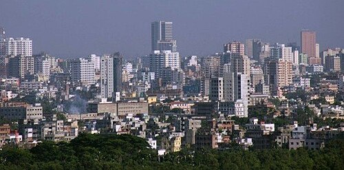
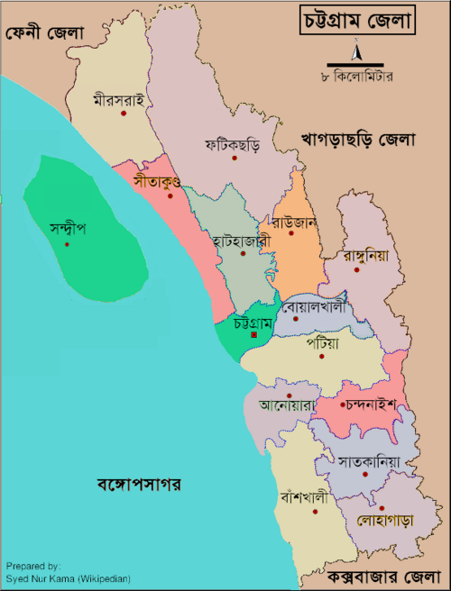
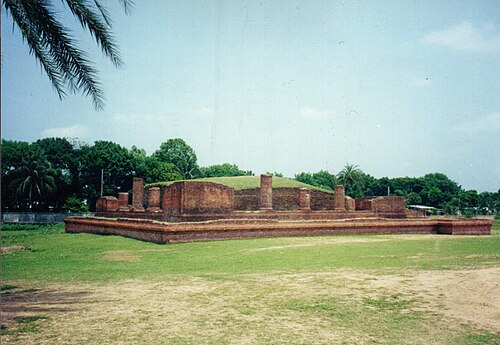
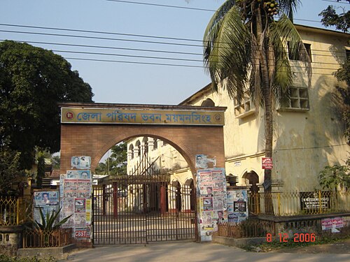
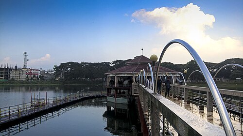
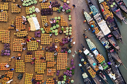
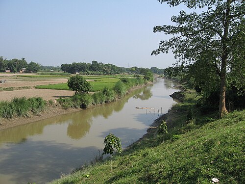
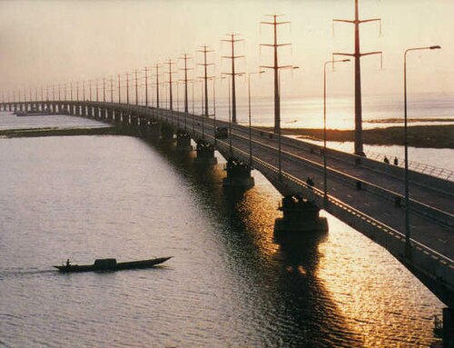
109 districts and upazilas have a photograph in Wikidata; every page also shows a locator map. Authors and licences are credited under each picture.